
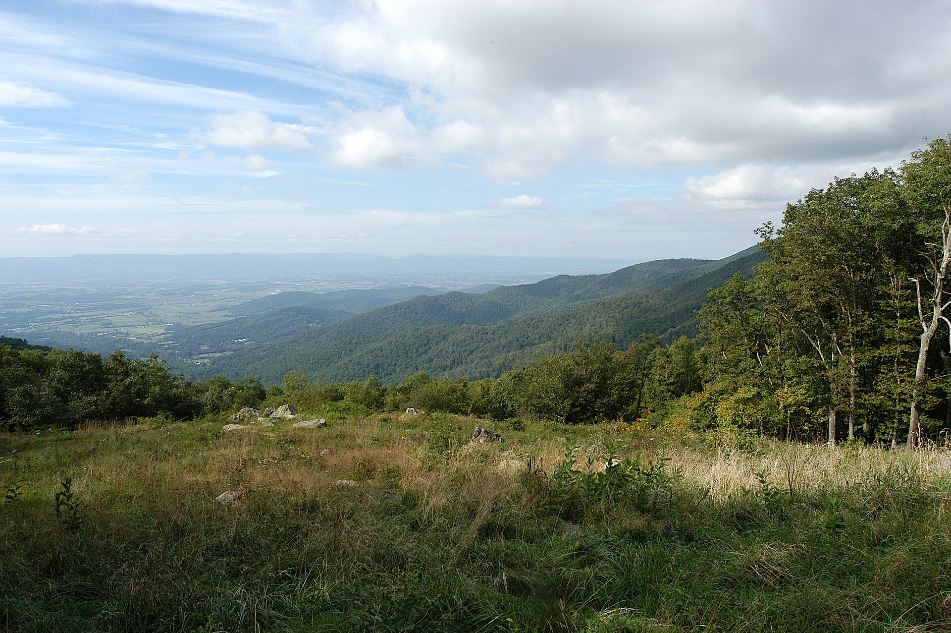
Skyline Drive is a road, not a trail, but it is the single access route to the walking in Shenandoah National Park, and nearly every trailhead sits right on it. That means you can choose a short stroll or a long climb after you arrive, using mileposts and a stop at a visitor center to decide.
What is Skyline Drive, and why does it matter for walkers?
Skyline Drive follows the crest of the Blue Ridge Mountains for 105 miles, running the full length of Shenandoah National Park in Virginia. It is the only public road through the park, so it works as the spine of the whole area. Almost everything a walker wants, including trailheads, viewpoints, visitor centers and campgrounds, hangs off this one road.
For a decision-oriented visitor, that layout is the main advantage. You do not need to commit to a route before you leave home. You can drive a stretch, stop at an overlook, and decide on the spot whether the day calls for a few minutes of standing and looking or a proper walk into the trees.
The road also determines when and how you can arrive. Park entry fees are charged at the four access points, and the road is generally open through the year. There is a seasonal catch worth knowing about, covered in the planning section below.
How do mileposts help you find a trail?
Mileposts are the simplest navigation tool you will have. They are numbered from 0 at the northern end near Front Royal to 105 at the southern end near Rockfish Gap, and they appear on the west side of the road. Trail guides, park staff and trailhead descriptions all refer to them, so a walk described as being at a certain milepost can be found without a map app or phone signal.
A few habits make this work well:
- Note the milepost of your intended trailhead before you start driving, and watch the markers count up or down as you go.
- Remember which direction you are travelling. The numbers rise heading south and fall heading north.
- Write down the milepost where you park, so that finding the car at the end of a walk is not a guessing game.
Because mobile coverage can be patchy in the mountains, download or print your information before you set out rather than relying on a connection once you are on the ridge.
Where should you stop first?
Start at a visitor center. Two serve the drive. The Dickey Ridge Visitor Center sits at mile 4.6, the first one you meet if you enter from the north. The Byrd Visitor Center sits at mile 51, roughly the middle of the road.
Both offer an information desk and restrooms, and staff there can help you plan a visit and answer questions about conditions. Rangers can also tell you what suits your time and energy, which is far more useful than a generic list. Tell them how long you have, who is walking with you, and whether you want views, woodland or water, and let them narrow it down.
The Byrd Visitor Center is also the one near the main grassland area of Big Meadows, and it has the park’s only gas station nearby, so it doubles as a practical stop for fuel and snacks. If you are coming from the north, Dickey Ridge is the natural first pause before the road begins to climb.
How do you match a trail to your day?
There are more than 500 miles of trails in the park, and they range widely. Short strolls through meadows sit alongside demanding climbs to rocky summits, and more than fifteen waterfalls tucked into wooded hollows add another type of walk. The key is to sort by effort before you sort by scenery.
Short and gentle
If you want a low-effort outing, look for the walks described as easy on a well-trodden trail, ending at a boulder-strewn summit with a good view. A walk like that suits a modest amount of time and does not ask much of your legs or your planning.
Waterfalls
Waterfall walks vary a great deal. Some are short but steep, which can be harder on knees and breathing than the distance suggests. Others are difficult descents from the road, where the return trip means climbing back up to the car. Treat any walk that drops away from the road as a walk that also has to climb back, and judge your energy accordingly.
Demanding scrambles
One of the park’s most popular hikes is also described as among its most difficult and dangerous, involving a rock scramble. Popularity is not a guide to suitability. If a trail combines exposure and scrambling, keep it for a day when you are rested, well equipped and in company.
Ranger programs
Ranger-led programs run from spring through fall and cover easy walks, challenging hikes and campfire talks. If you prefer to be guided rather than to choose, these are a sensible way to pick up local knowledge without planning a route yourself.
The Appalachian Trail also runs through the park alongside the road for much of its length, which means short out-and-back sections are within reach of many overlooks and parking areas.
What should you plan before you drive up?
The road itself rewards a slow approach. The speed limit is 35 miles per hour and it is strictly enforced, which suits the twisting alignment, blind turns and a tunnel. Bicycles, motor vehicles and pedestrians all share the road, and deer and black bears may cross without warning. Drive as though something is about to step out, because it may.
Overlooks are frequent, with 75 along the road according to the encyclopedia entry, so you are never far from a safe place to pull in. Use them. Stopping to look is safer than trying to look while driving, and it gives you a natural rest between walks.
Seasonal timing matters too. The drive is closed from dusk to dawn from November to early January, and it can close for a short time after snow or ice storms. If you plan a winter visit, check current conditions before you set off and allow time to be flexible.
- Carry water and a layer, since conditions on the ridge can differ from the valley.
- Download maps in advance rather than relying on signal.
- Choose a walk with a clear turnaround point, and stick to it.
- Leave margin before dark, especially in the colder months.
Done this way, Skyline Drive trails become an easy set of choices rather than a single daunting hike. Pick a milepost, ask a ranger, and let the road deliver you to the right size of walk.
Related reading
- Eating Outside in the Cold: Fires, Blankets and a Good Flask
- A Picnic Worth the Effort: What to Carry, What to Leave at Home
Sources
- 10 Things to Do in Shenandoah National Park – Skyline Drive (visitskylinedrive.org, accessed 2026-11-04)
- A Camper’s Guide to Skyline Drive, Virginia’s Most Scenic … (thedyrt.com, accessed 2026-11-04)
- Skyline Drive — Wikipédia (en.wikipedia.org, accessed 2026-11-04)
Photo: 2003-09-06 16-06-40 Fishers Gap Overlook Shenandoah National Park VA, by G. Edward Johnson, CC BY 4.0 (Wikimedia Commons)